Tanya and I were the only people that came to the mapping field trip. We drove to the proposed location where the project’s narrative will be taking place. Volker brought some form of DJI Phantom drone that holds a GoPro pointing directly at the ground.
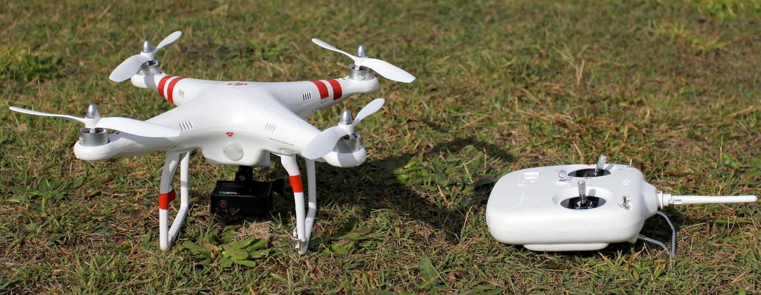
The idea is to capture a whole bunch of photos from an aerial perspective and use software to stitch them together to create a huge 3D model of the area. I had wondered if it would be easier for the software if the camera was angled and was able to more easily capture a larger surface area, as well as the sides of any structures on the landscape. It didn’t really matter that much because it was hard to get the drone further than this off the ground. 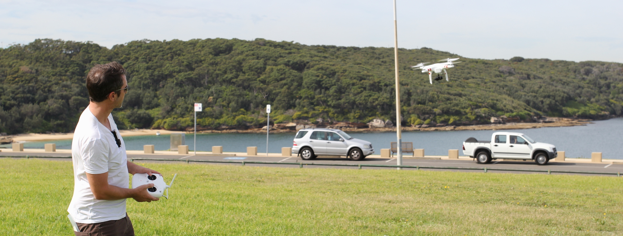 The drone is expensive and it was not handling well with all the wind near the ocean so it was dangerous to take it any higher (we were envisioning a light wind picking up and depositing the drone in the bay).
All was not lost, instead we took a whole bunch of photos of the landmarks nearby. We then used the 123D Catch app from Autodesk to do all the hard work analysing and converting the photos to a 3D model. I’m quite surprised how well it turned out.

The software promises that all you have to do is upload two orbits (from different angles) of the object you want to model and it will create a 3D model. I only did one orbit of each object (less than one in the case of the museum) and it still turned out pretty good. Not great, but it’s definitely something to work with. Besides, a faithful recreation would be boring, it’s much more interesting to look at a melting, deformed and grotesque building.
The one that turned out the best is the tower, probably because it is a simple shape. I was impressed that the software was able to pick out the indentation of the windows from just my photos. I think if I did another orbit, maybe with the camera on a stick, the model would turn out with even better quality. It might also get rid of the strange artefacts at the sky at the top. It is possible to manually remove the sky but having used the software I now have a better idea of how what to capture.